Entriamo in contatto!👋🏻 ✉️

Rendiamo digitale la navigazione interna italiana, insieme

Come la digitalizzazione può portare benefici alla navigazione interna italiana

↓ il settore ↓

Una leva strategica per competività e sostenibilità

Il quadro europeo mostra un’evoluzione marcata verso sistemi di trasporto più sostenibili, integrati e a minor impatto sui costi logistici.

1,1

tonnellate di merci per abitante vengono trasportate attraverso le vie d’acqua interne dell’UE

1%

Il traffico fluviale italiano rappresenta meno dell’1% del totale europeo, ben al di sotto del suo effettivo potenziale.
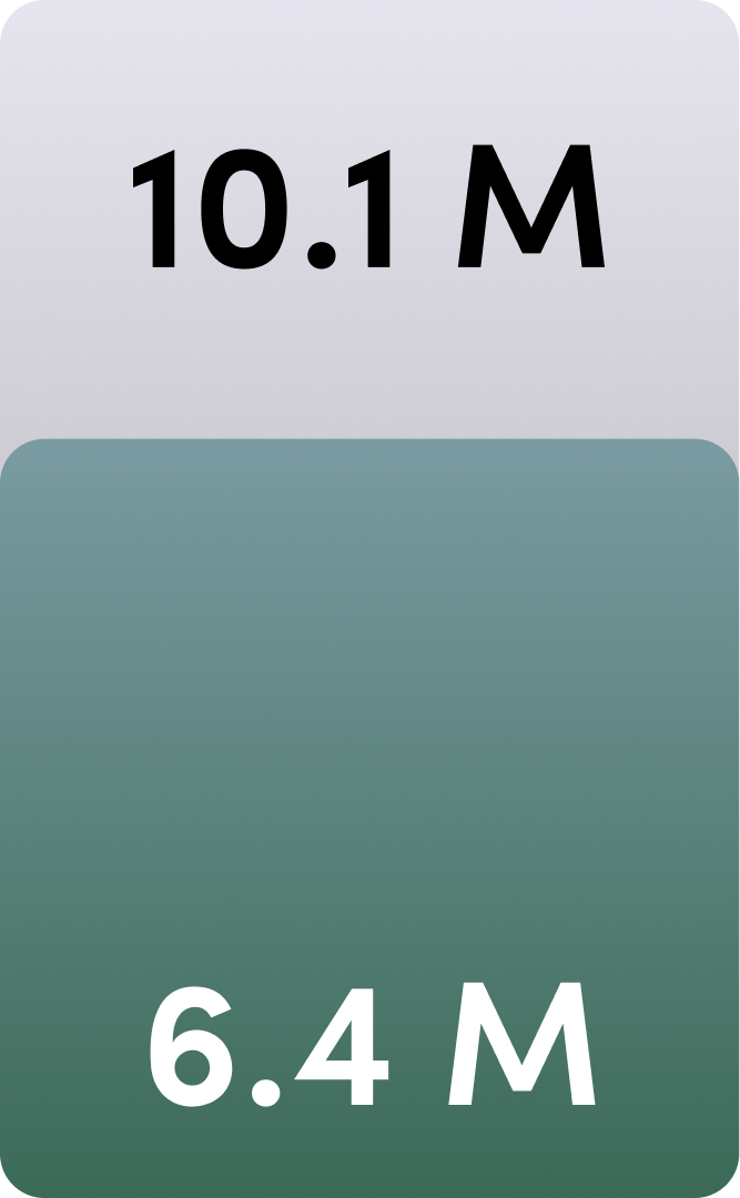
Graphic showing two figures: 10.1 M in black at the top on a light gray background and 6.4 M in white at the bottom on a green gradient background.

La rete navigabile Padano-Veneta movimenta attualmente 6,4 milioni di tonnellate all'anno. La sua capacità effettiva è di almeno 10,1 milioni di tonnellate all'anno.

Quel divario, documentato da Confindustria e The European House Ambrosetti, non è solamente un problema infrastrutturale, ma anche informativo.

Ostacoli alla digitalizzazione
del settore in Italia

1

Frammentazione delle fonti informative

2

Scarsità
di dati strutturati

3

Mancanza
di strumenti dedicati

L'impatto su aziende ed enti pubblici

1 - Iter burocratici complessi

Autorizzazioni che richiedono giorni o settimane rallentano attività e pianificazione.

2 - Infrastrutture non allineate agli standard UE

Strumenti digitali isolati significa minor visione d'insieme e meno opportunità.

3 - Dati incompleti e non strutturati

Difficoltà nel prevedere rischi, costi e interruzioni all'operatività.

4 - Informazioni frammentate su decine di fonti

Aumento del tempo perso e minore accuratezza decisionale.

Un potenziale logistico e commerciale che oggi le imprese ed il territorio non possono sfruttare appieno.

Come possiamo risolvere questi problemi?

Un'unica fonte informativa

Basta notizie sparse su 10 portali diversi, non filtrate e senza avvisi
Two overlapping newspaper front pages in Italian, one titled "Quotidiano della provincia" and the other "Quotidiano della regione," each featuring images of industrial docks and ships by the water with columns of text and a small map on the regional newspaper.

Conoscenza del dominio

Informazioni verificate, rilevanti e sempre aggiornate
Abstract network diagram with interconnected greenish circular nodes of varying sizes connected by thin gray lines on a transparent background.

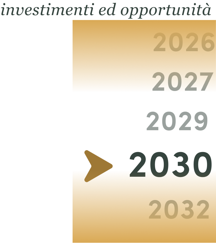
Maggiore pianificazione

Dati su investimenti, opportunità ed eventi
Partial vertical timeline with highlighted year 2030 marked by a speech bubble icon, surrounded by years 2026, 2027, 2029, and 2032 on a beige background.

La navigazione fluviale 2.0

La fonte informativa per la navigazione interna italiana

Il primo sistema informativo pensato per i professionisti della navigazione interna, basato solo su informazioni qualificate e verificabili alla fonte.
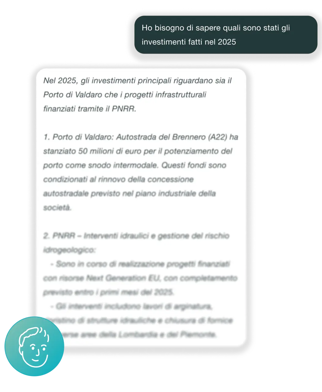

Screenshot of an Italian chat interface where a user asks about investments made in 2025. The response details two main investments: 1. Valdaro Port, where Autostrada del Brennero allocated 50 million euros to enhance the port as an intermodal hub, tied to highway concession renewal in the company's industrial plan. 2. PNRR-funded hydraulic interventions and risk management projects supported by Next Generation EU funds, including work on embankments, hydraulic structure restorations, and closure of a spillway in Lombardy and Piedmont, expected to complete early 2025.

Le funzionalità della piattaforma

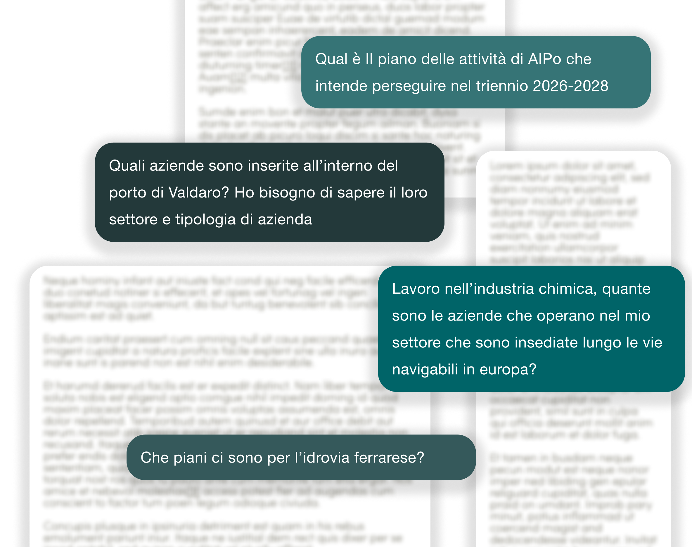
Chat con intelligenza artificiale

Puoi chiedere informazioni su:

- Investimenti infrastrutturali

- Stato delle idrovie (chiuse, allerte...)

- Normative e opportunità

E molto altro...

Italian text message bubbles with questions about industrial and infrastructure plans, including the 2026-2028 AIpo activity plan, companies in Valdaro port by sector and type, chemical industry companies along European navigable waterways, and plans for the Ferrara waterway.

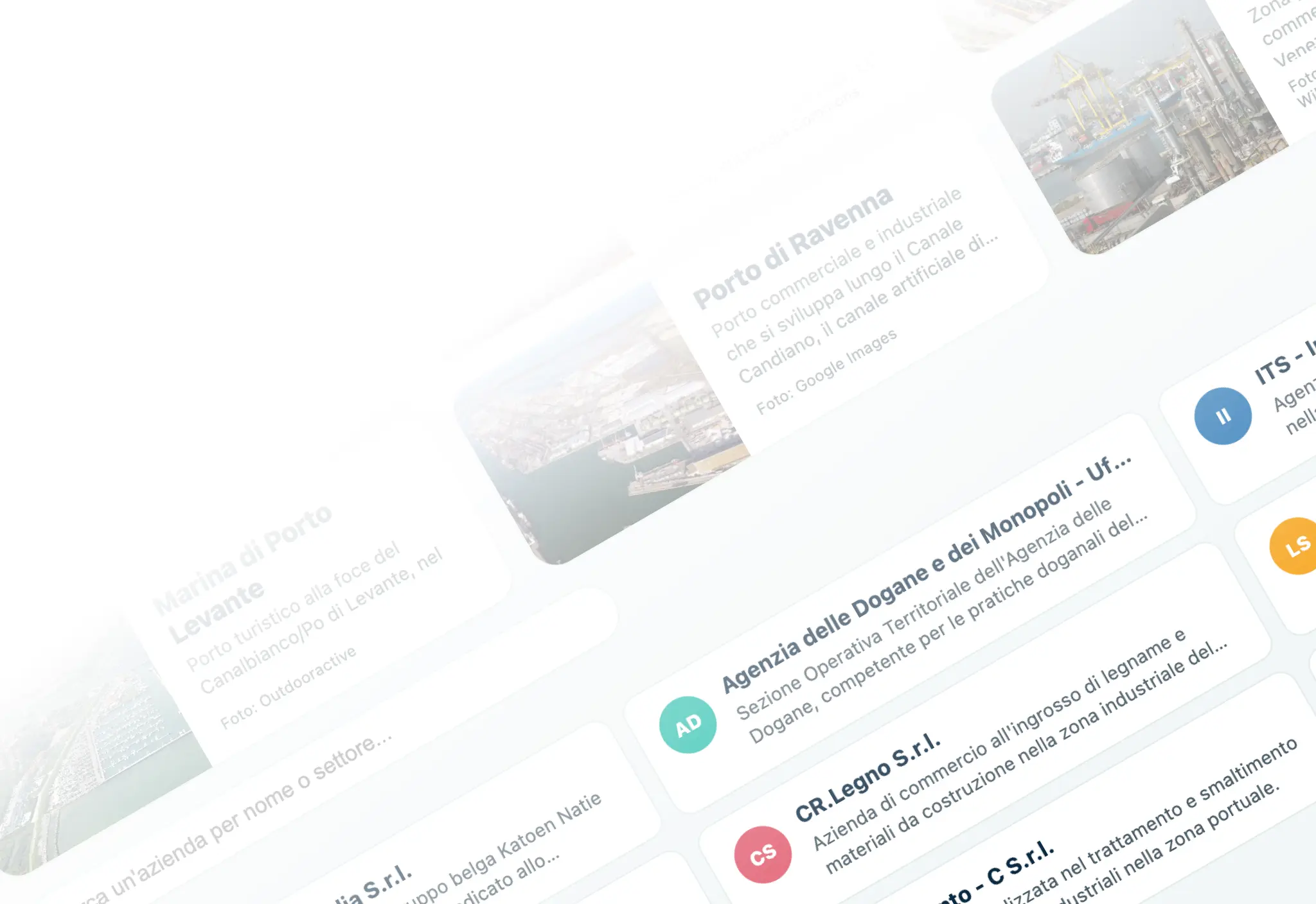
Informazioni su
aziende, enti pubblici e
associazioni del settore

Website interface featuring cards with Italian text about maritime ports and commercial agencies, including a photo of the Porto di Ravenna industrial port with cranes and warehouses.

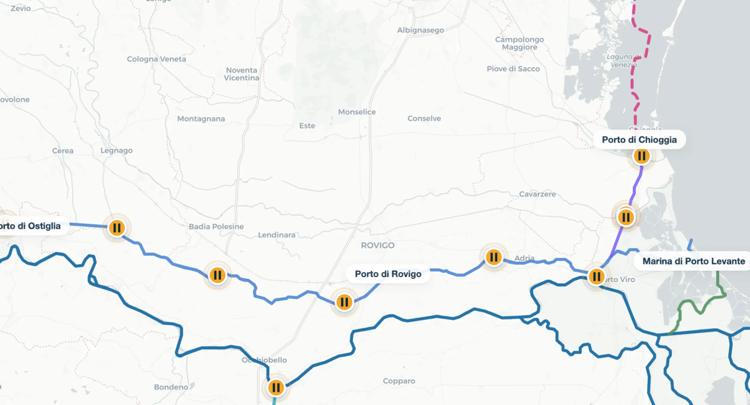
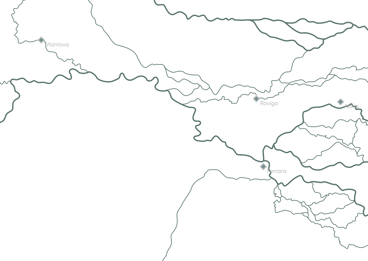
Mappa interattiva
delle idrovie

Map showing waterways and ports in northeastern Italy including Porto di Ostiglia, Porto di Rovigo, Porto di Chioggia, and Marina di Porto Levante, with blue and purple lines representing routes and pause icons at various points.

Rassegna stampa di
quotidiani locali e
fonti di settore

Close-up of blurred newspaper pages with the Italian headline 'Quotidiano della regione' and images of a river, boats, and a city aerial view.

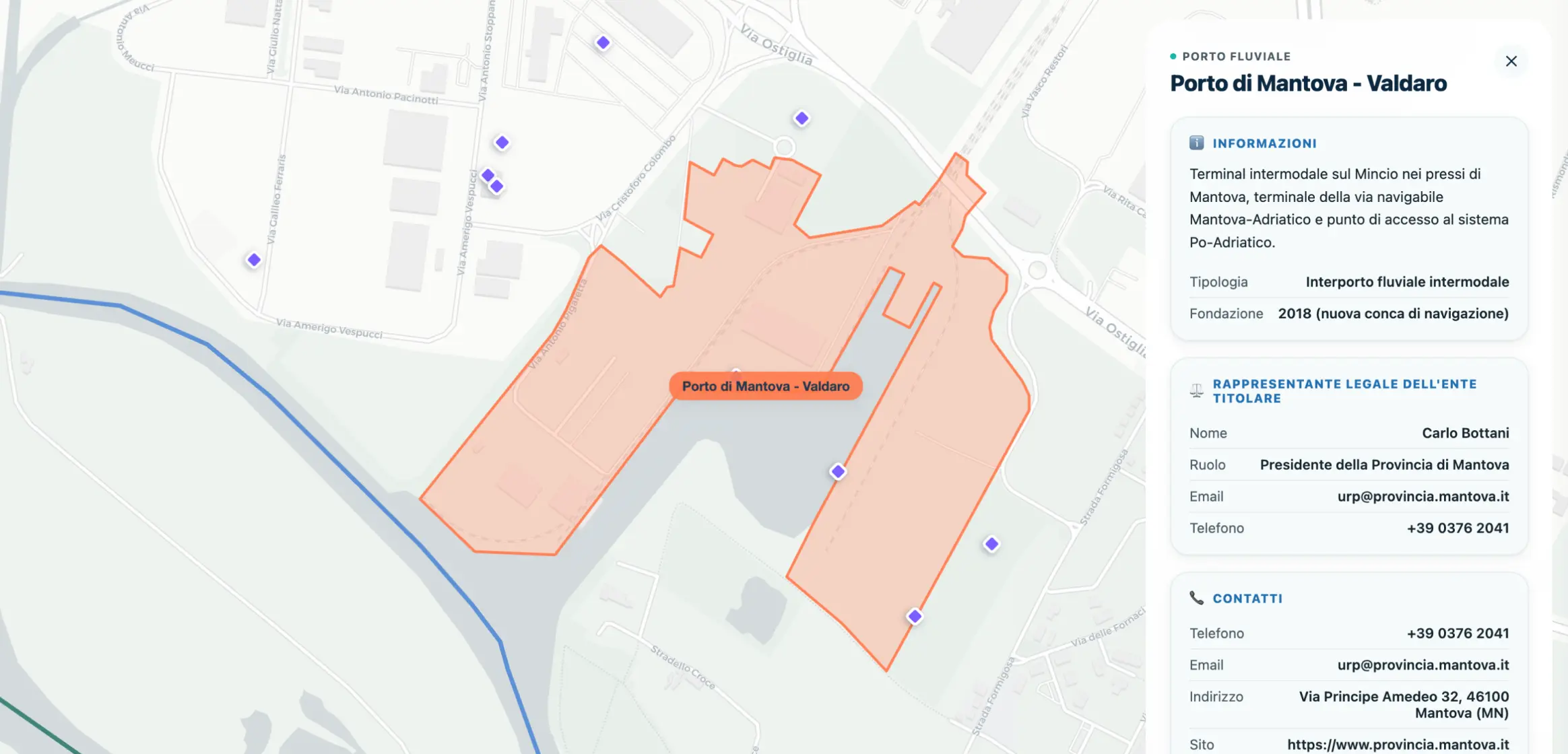
Punti di interesse

Map highlighting the Porto di Mantova - Valdaro intermodal river port area outlined in orange, located near Mantova, Italy, with surrounding streets and contact information shown on the right panel including legal representative Carlo Bottani and port details.
Contattaci per provare la versione di anteprima

powered by

humain soc. coop.